
3D BIRDS EYE VIEW SITE PLANS


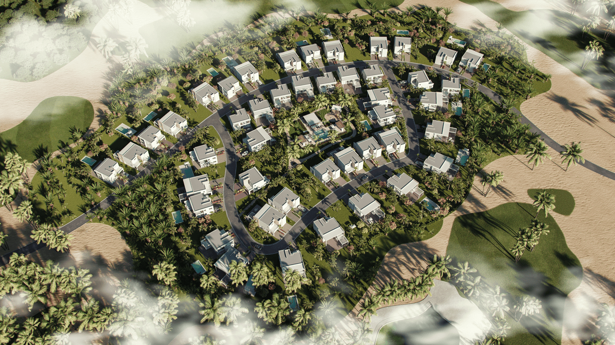
What are 3D Aerial Views?

The details that we get from manually prepared plans contain a lot of irregularities, which can be avoided by utilizing 3D Aerial View Renderings. The results and the desired effects can be put to actual execution using Aerial Views/ Bird’s Eye View quicker than any other design tool. Architectural Aerial View Visualization is the apt marketing tool for community type projects, which also doubles up as direction maps, quick reference guides, and geographic positioning. One can also organize Architectural Birds Eye View illustrations by color to help locate different buildings quickly.


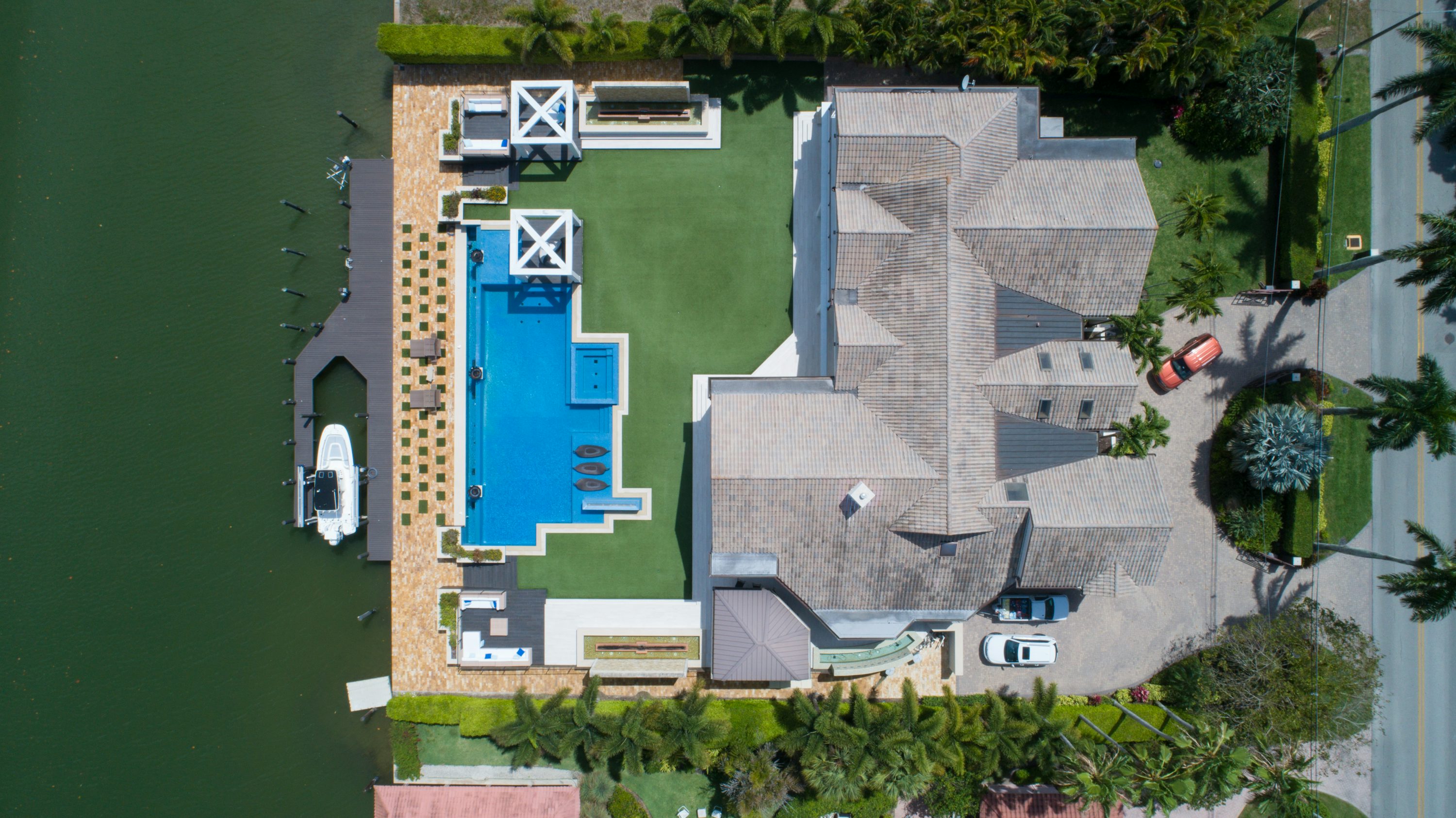

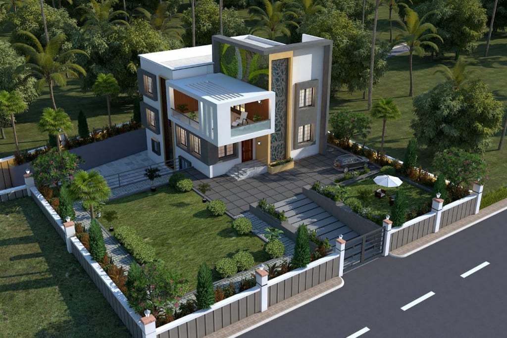
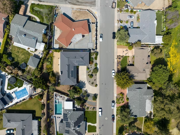


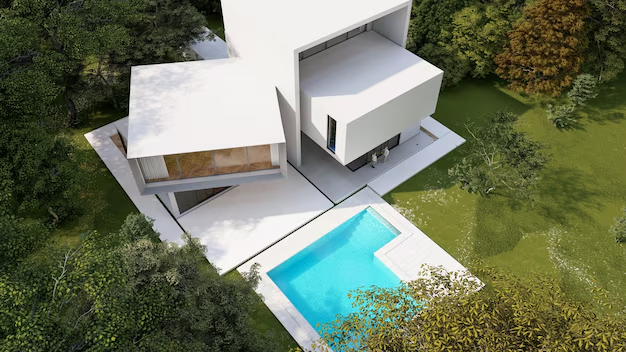

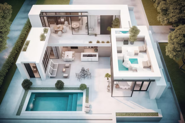


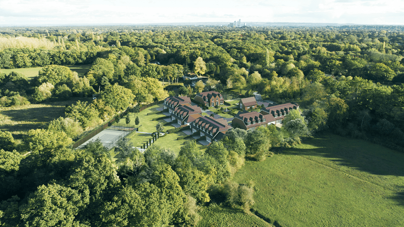

Typically, the images are set at an angle of 45°-60° from the ground level. That produces images with a distinct detailing which is often missing in typical front, side and rear elevations. For example, you can see the Architectural style and features of the siding of home whereas, in the flat, overhead views, you cannot check the Architectural Details.